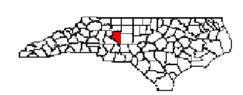
Davidson was formed in 1822 from Rowan. It was named in honor of General William Lee Davidson, a gallant soldier of the Revolution, who was killed at Cowan's Ford. When General Greene retreated across North Carolina before Cornwallis in 1781, he stationed troops under Davidson at Cowan's Ford on the Catawba River to delay the British army. The British attacked the Americans, killing General Davidson, and forced a passage. The United States government has erected a monument in his honor on Guilford Battle Ground. The county is in the central section of the State and is bounded by Randolph, Montgomery, Rowan, Davie, Forsyth, and Guilford counties.
This Piedmont Plateau, though dotted with many small rolling farms,
is primarily a manufacturing area in which the chief industries are furniture,
tobacco, and textiles. Lexington is Davidson County's largest town and
Lexington is the county seat. Davidson County has a total area of 567.51
square miles, with 552.33 square miles of land area. The county's average
temperature in January is 39° F and the average July temperature is
79° F. The average rainfall is 45 inches. the elevation of Davidson
County is 810 feet above sea level.
 Davidson
County Home Page
Davidson County Cooperative Extension Services
Davidson
County Home Page
Davidson County Cooperative Extension Services